 Skip to content
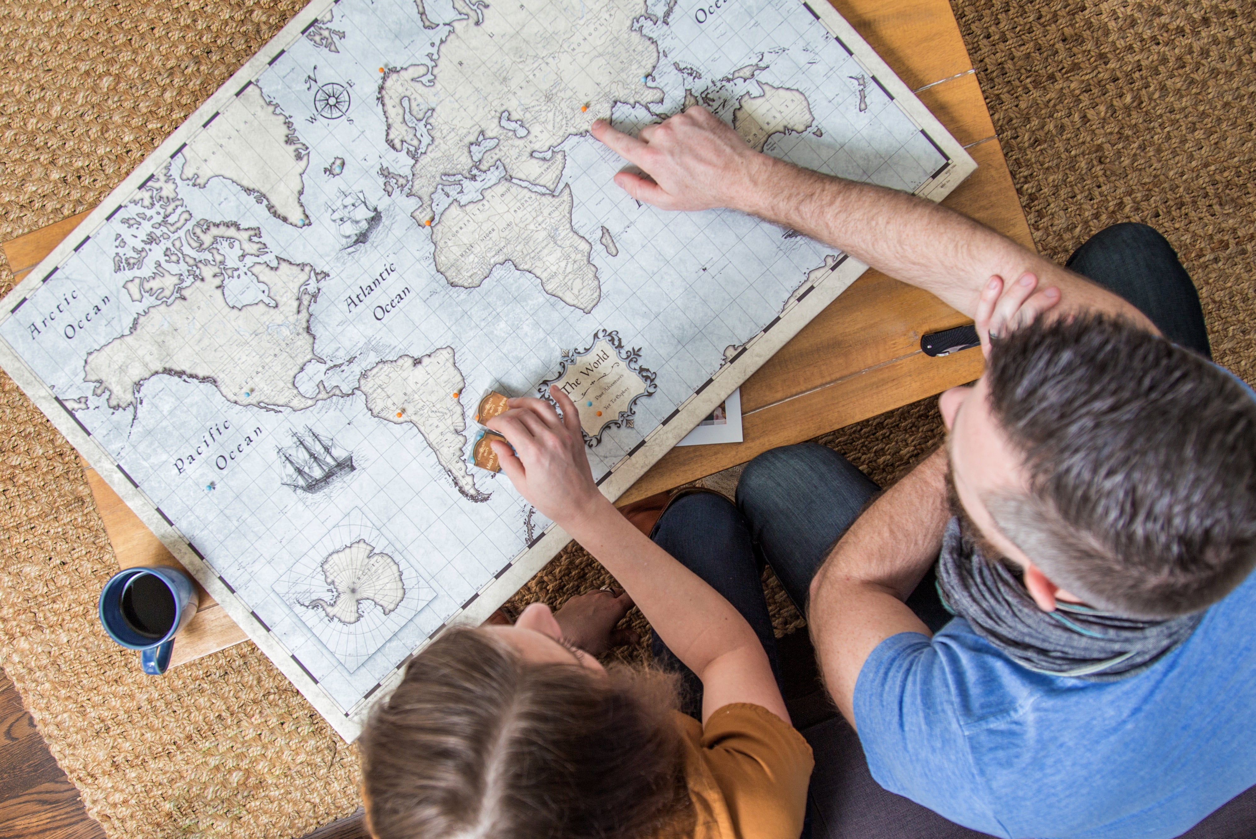
You may have wondered why Conquest Maps has chosen to create our maps using the Mercator projection, or what a map projection even is. Simply put, a map projection is a way to represent a three-dimensional spherical object (the Earth) on a two-dimensional flat surface (a map). Because, let’s face it, it’s often a lot more convenient to have a map on the wall versus a globe (even though those are very cool as well!). Because of this translation from 3-D to 2-D, all maps have a degree of distortion, especially those showing the entire Earth.
When the Mercator projection was introduced by Flemish cartographer Gerardus Mercator in 1569, it became the standard for nautical navigation because of its ability to represent lines of constant true direction. Later, it became a staple in classrooms to teach world geography. It is still one of the most common projections used in creating maps to this day.
One of the primary reasons we utilize the Mercator projection here at Conquest Maps is because of its common usage. It provides a familiar and comfortable design, with a harmonious composition for our maps. We also believe it offers a simple and functional way to pin your past travels, and visualize your future adventures!
But a frequently noted drawback of using the Mercator projection for world maps is the distortion that occurs both north and south the further away from the equator you look. As it is a cylindrical projection, regions that touch the equator are the most accurately portrayed in regard to relative size, while areas that are closer to the polar regions are more distorted. For example, this makes Greenland appear much larger compared to other land masses. That distortion happens because the space between the lines of latitude increases the further away north or south the latitude lines are from the equator moving towards either the North or South poles.
As an alternate map projection to the Mercator, we introduced the Winkel-Tripel map projection in 2020. The Winkel-Tripel projection has been used by the National Geographic Society since 1998 for standard world maps and has been adopted by many schools for teaching purposes. It shows some of the most accurate shapes and sizes of countries of any map projection. We currently offer the Winkel Tripel projection in three different styles of our world maps.
If you have another map projection you would be interested in seeing used for our maps, please let us know! We keep track of our customers’ requests and maybe we will use your preferred map projection in the future!


Why "Conquest Maps"
Top 50 Most Inspiring Journaling Prompts for Travelers