As a member of Compass Club, you'll be charged $20/year. Cancel or modify anytime in your account portal or by contacting us.
Learn More15% Off Welcome Discount, No exclusions. When new members sign up, they automatically get 10% off the same order as their membership purchase.
Free Standard Shipping on every order. Enjoy free standard shipping on every order, no minimum purchase required. (Contiguous US only.)
Join the private Compass Club Facebook group. Be a part of a community of like-minded travel lovers.
$20/year billed annually. $20 billed up front for 12 months. No other fees, just savings.
Cancel anytime. You can log in or contact us to modify or cancel your membership. No obligation, no contracts.
✖
Recently viewed
Search
We use cookies
Conquest Maps uses cookies to provide necessary website functionality, improve your experience and analyze our traffic. By using our website, you agree to our Privacy Notice and our Cookie Notice.
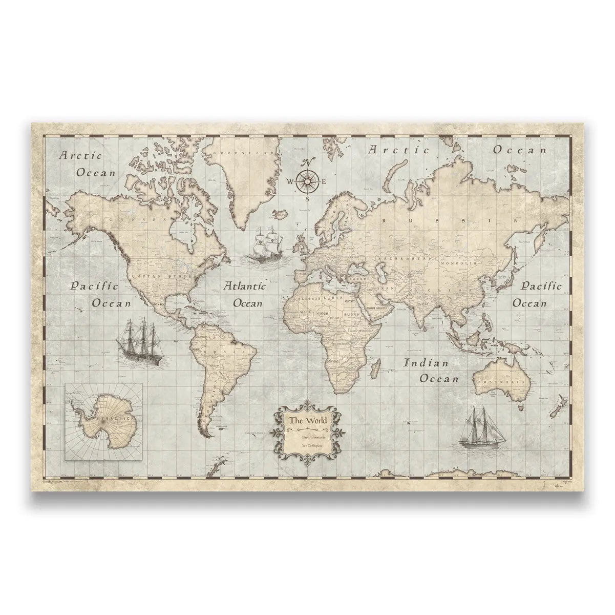
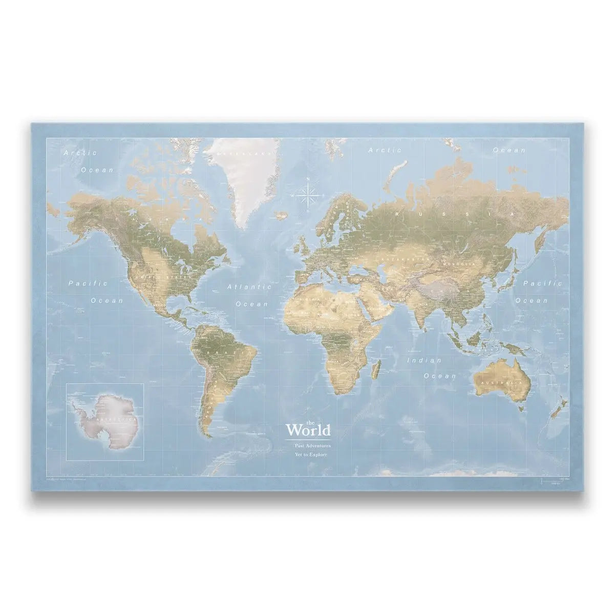
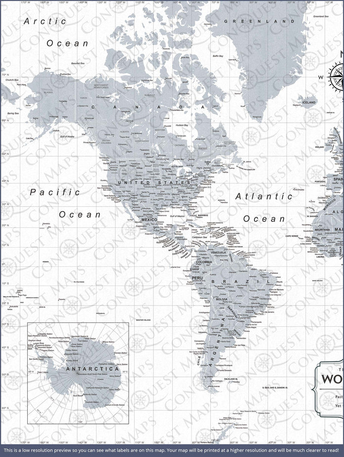
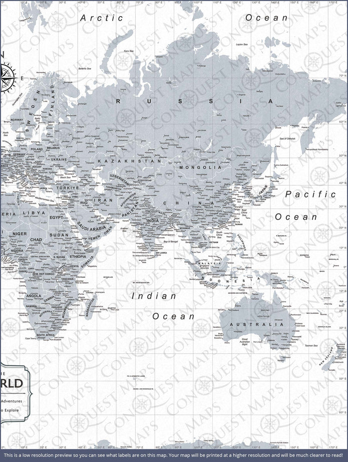
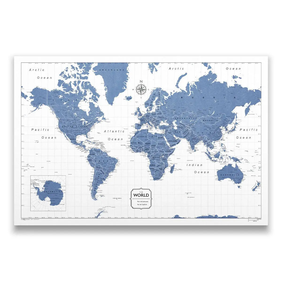
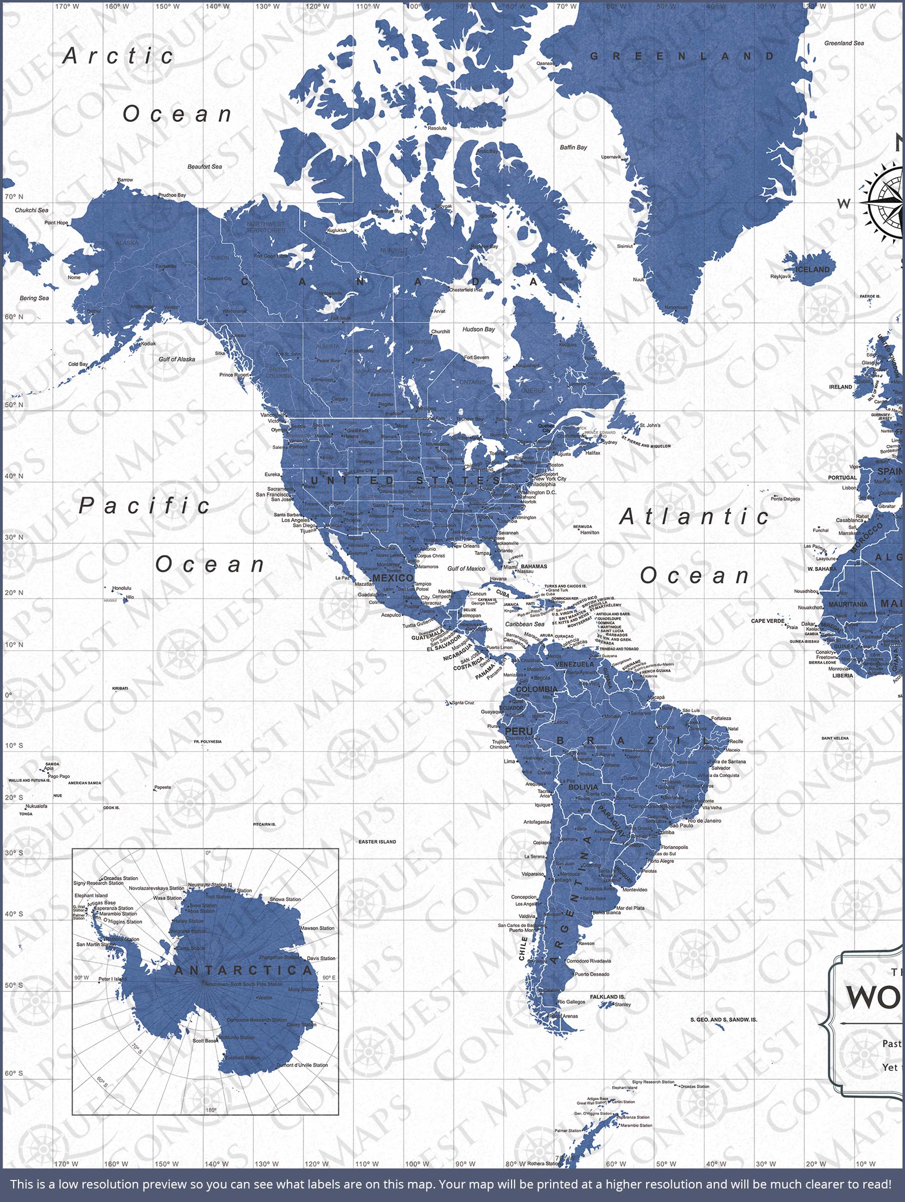
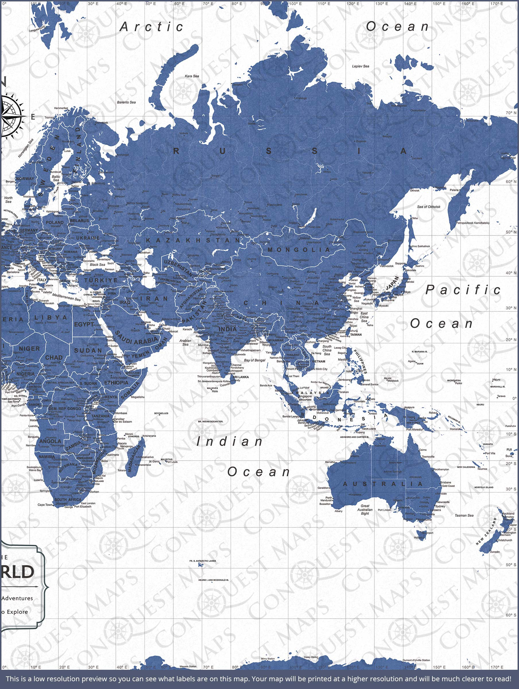
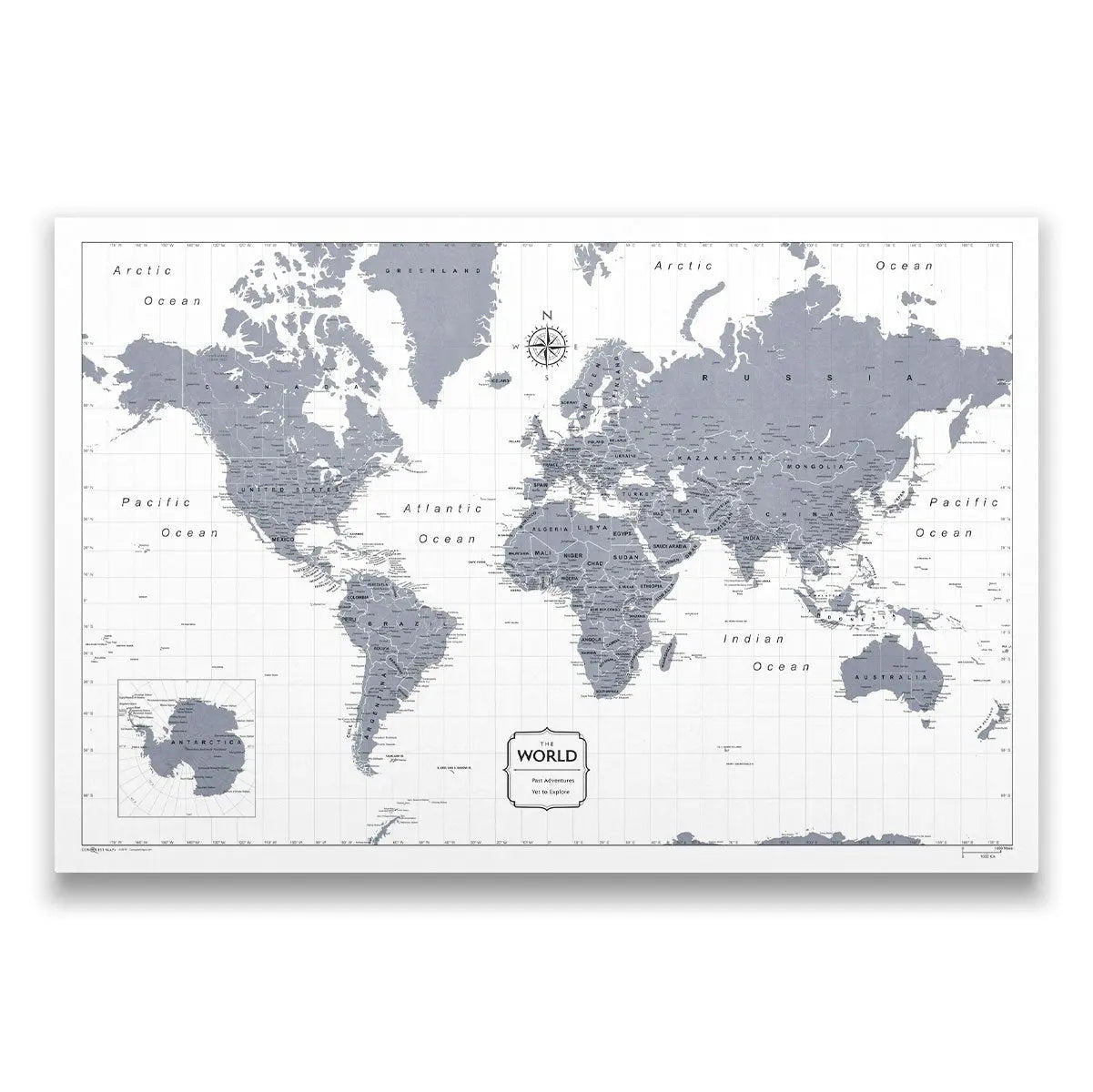
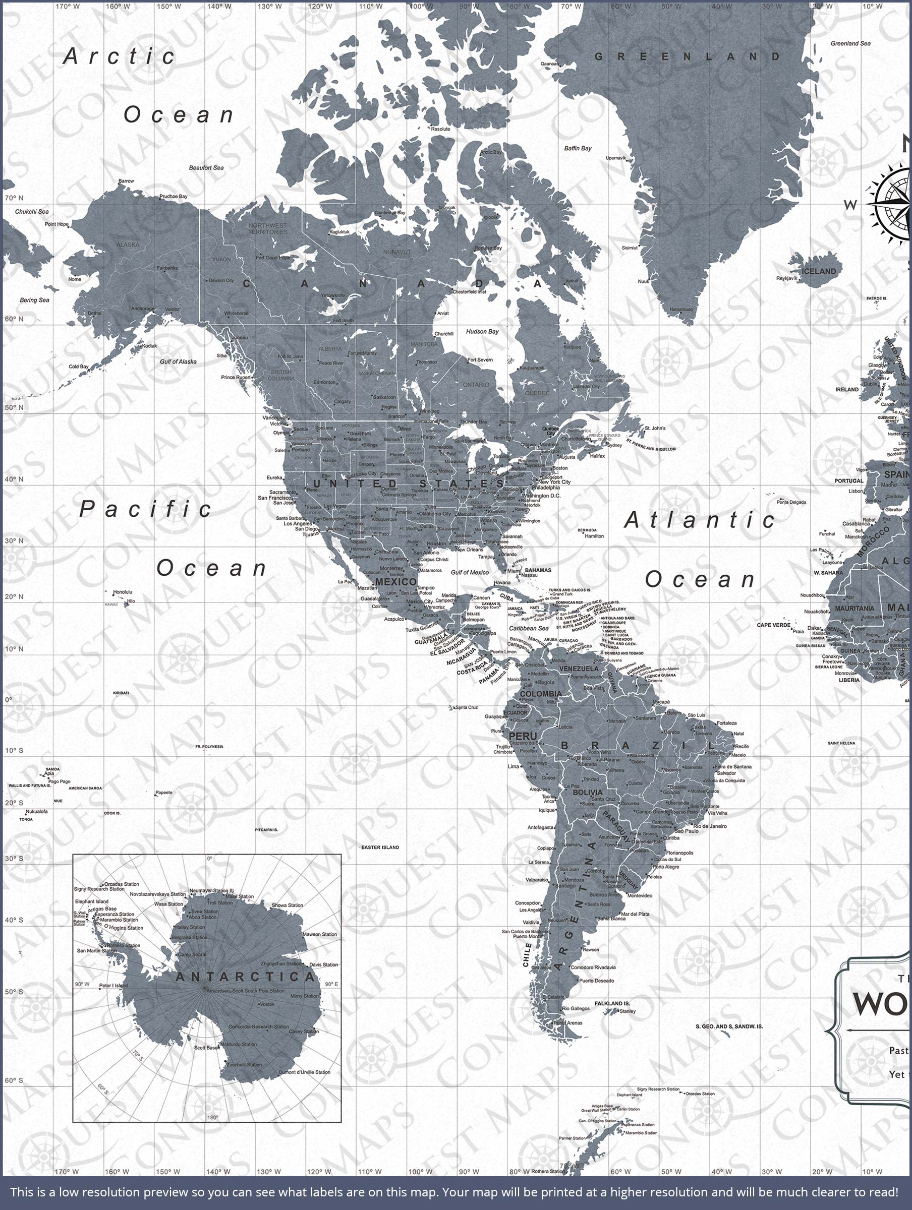
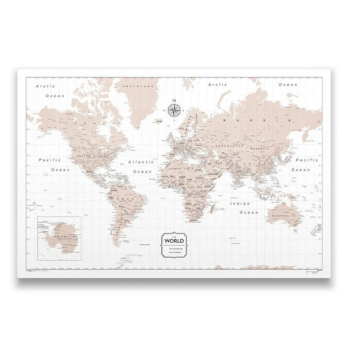
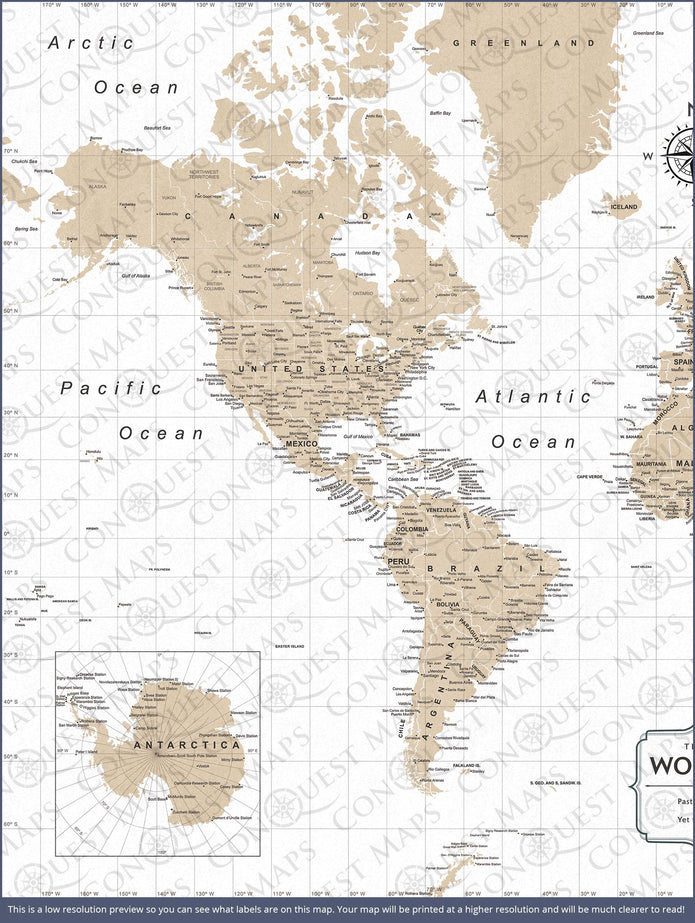
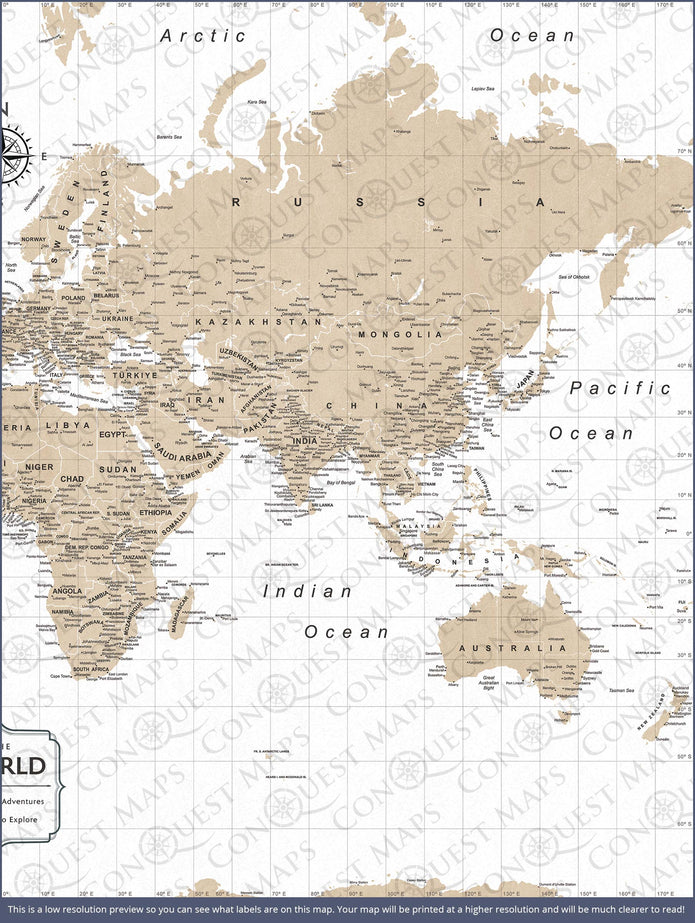
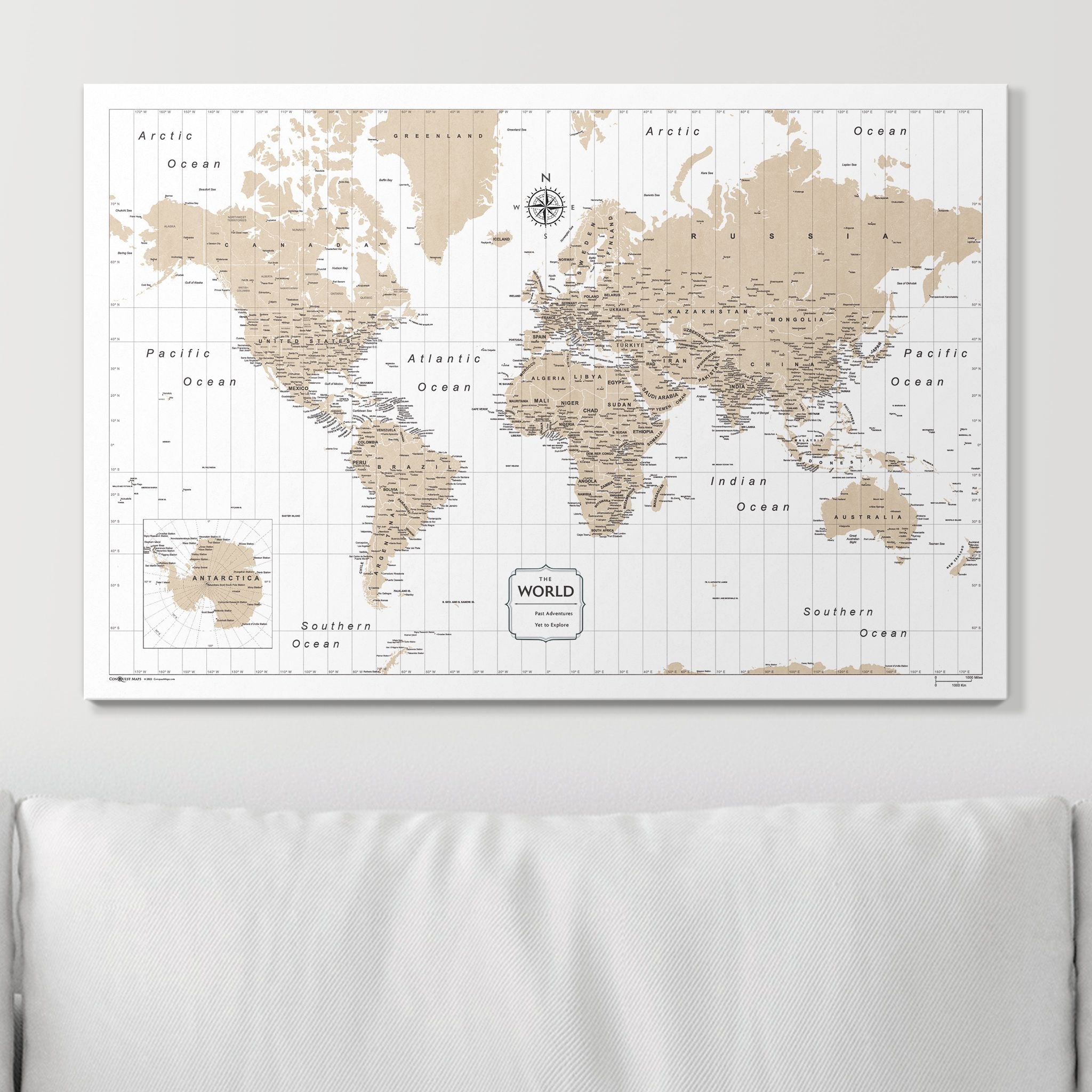
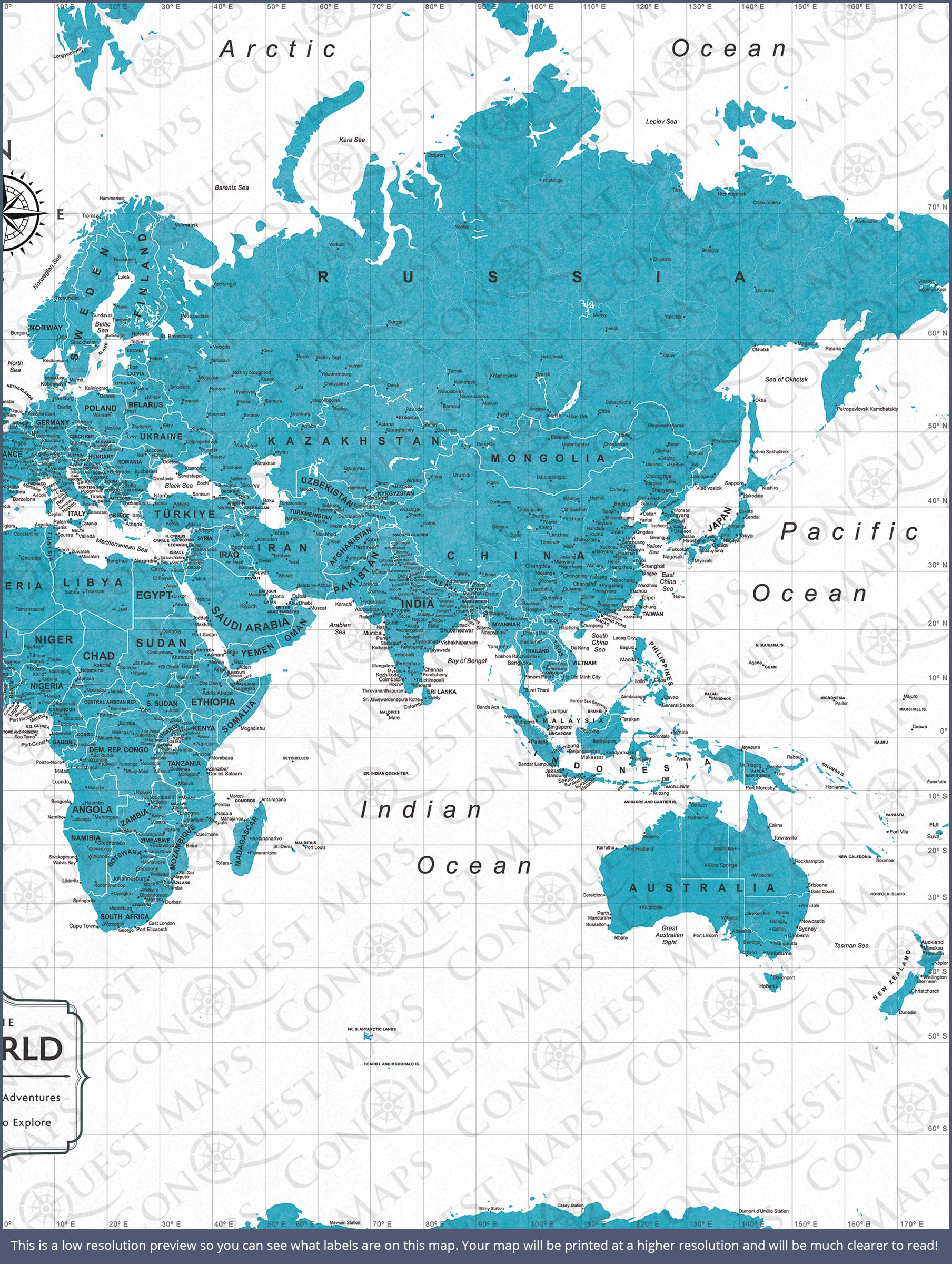
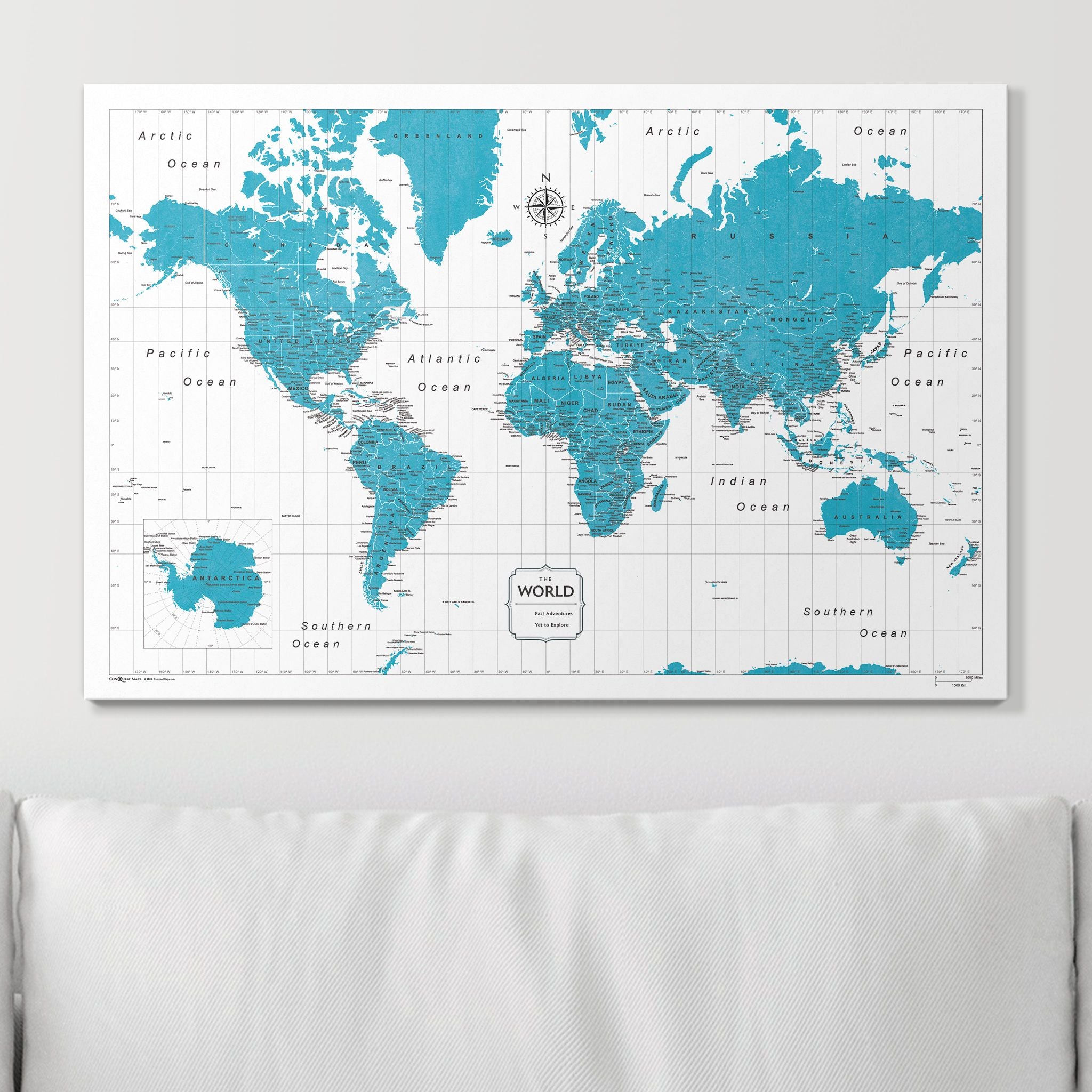
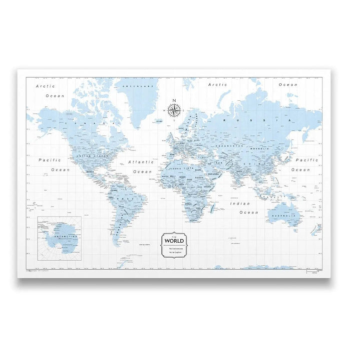
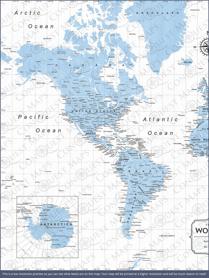
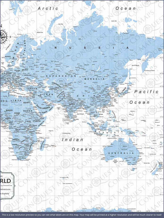
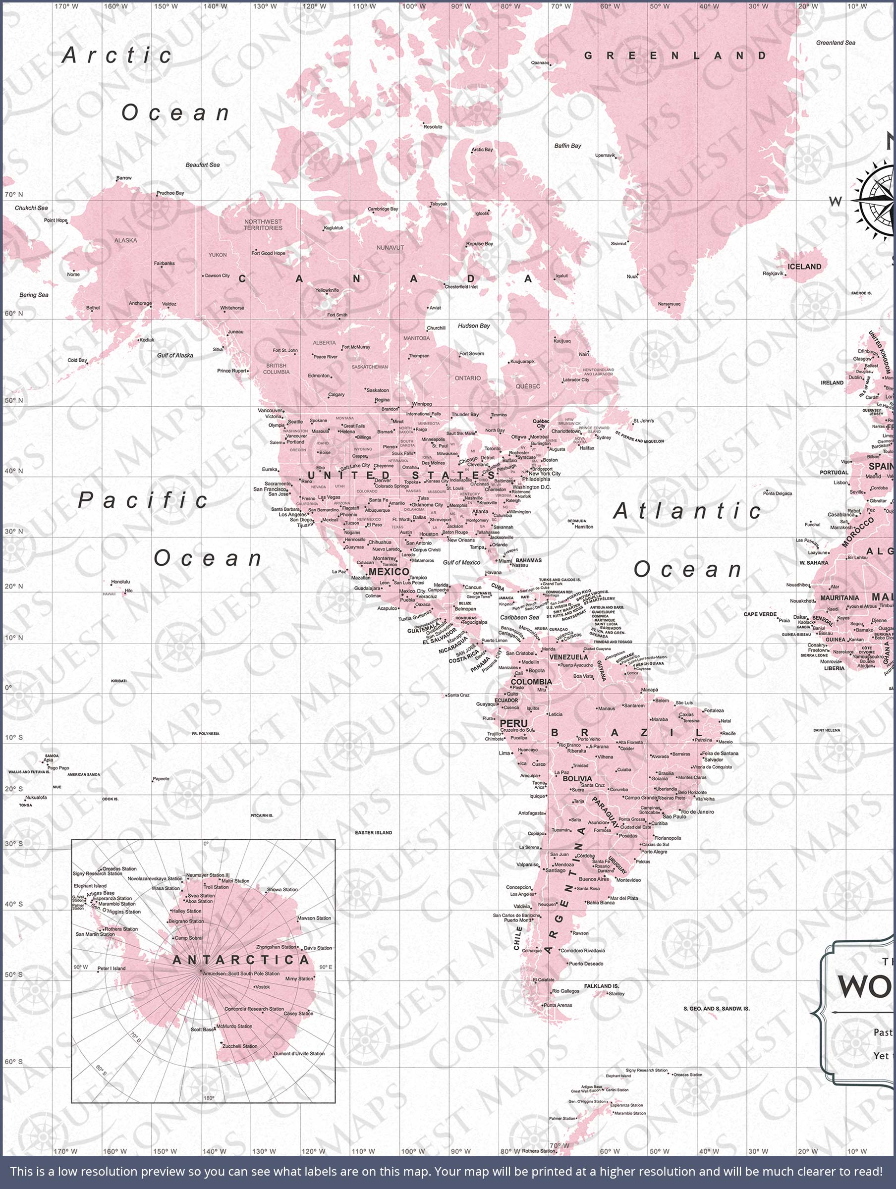
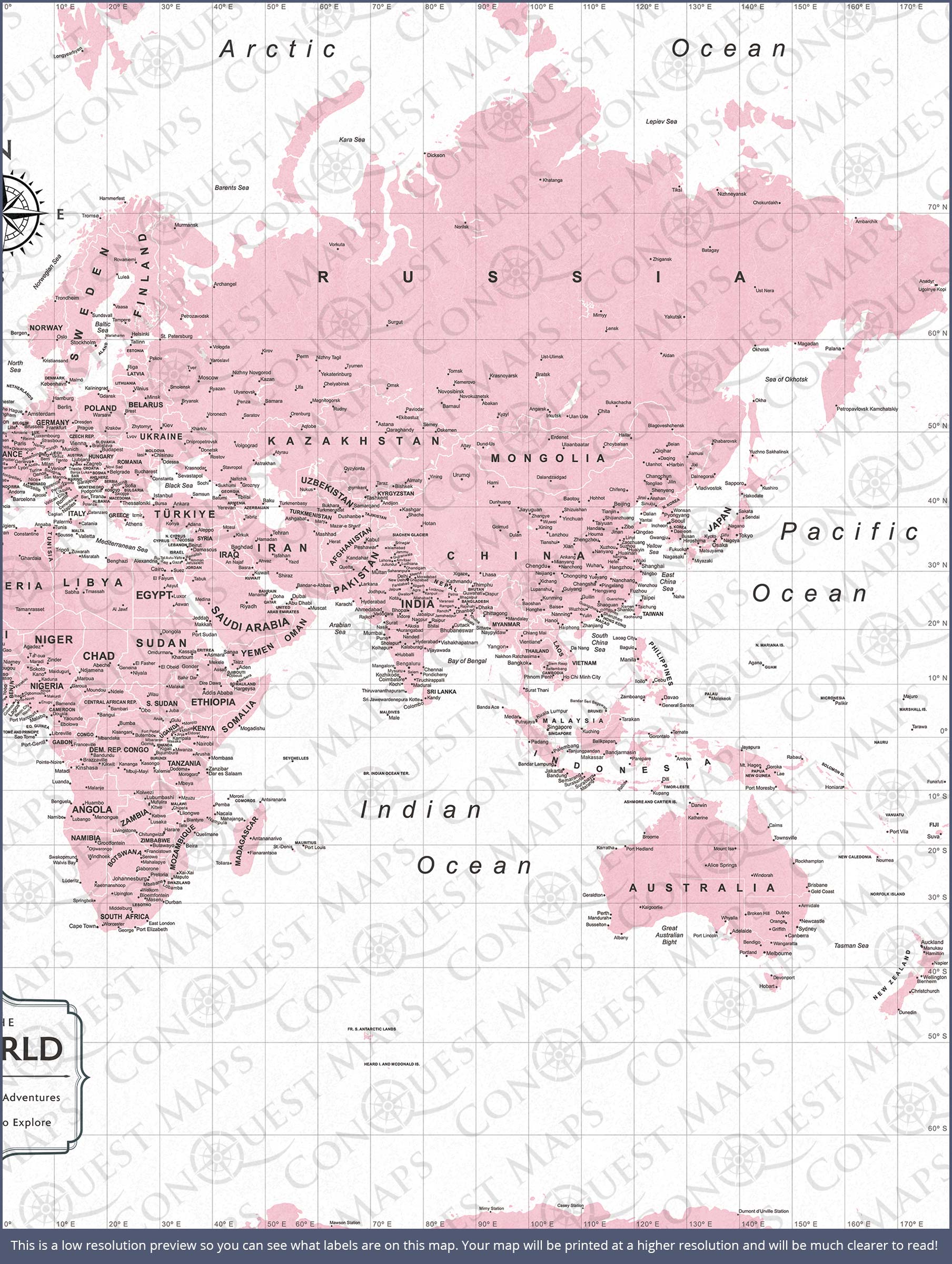
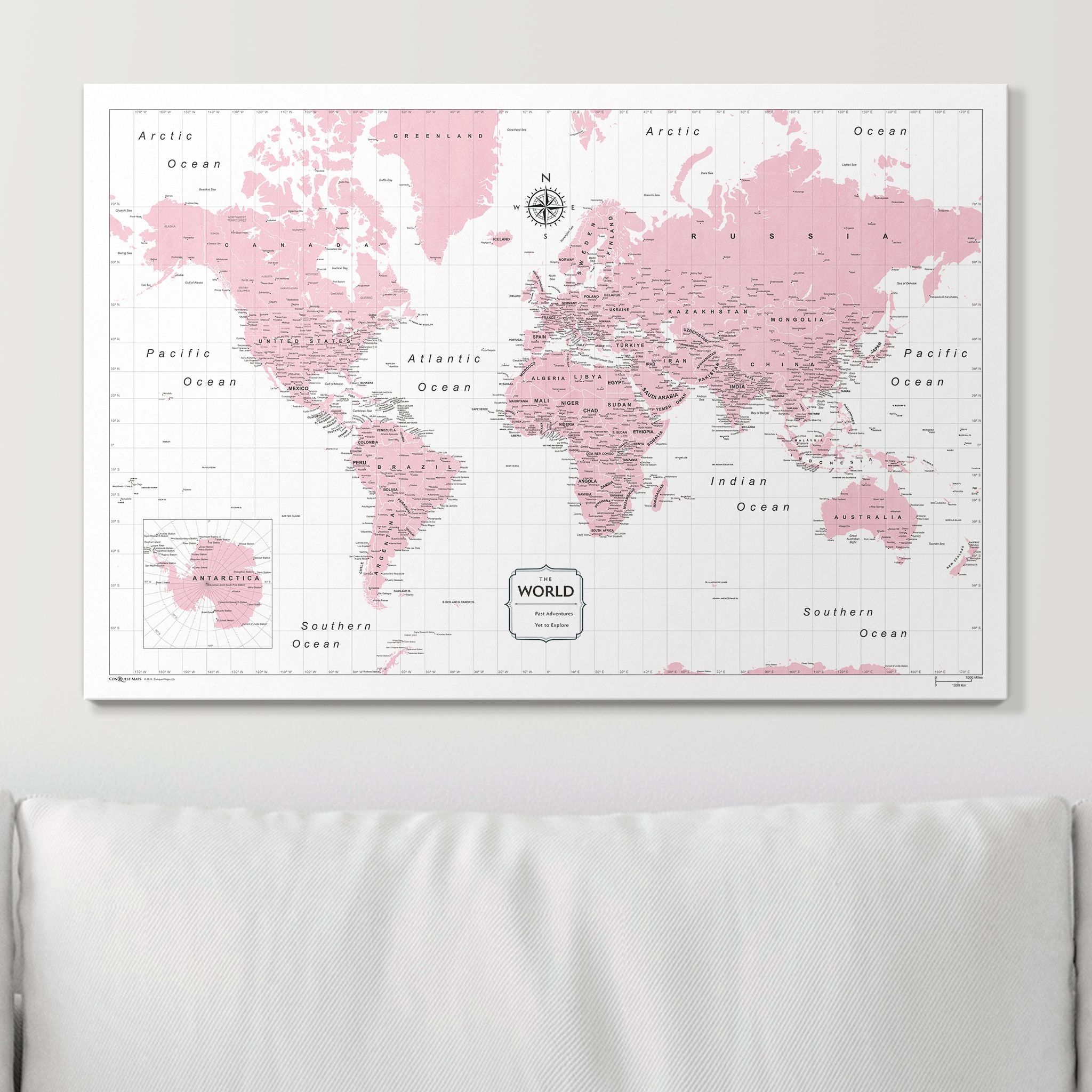
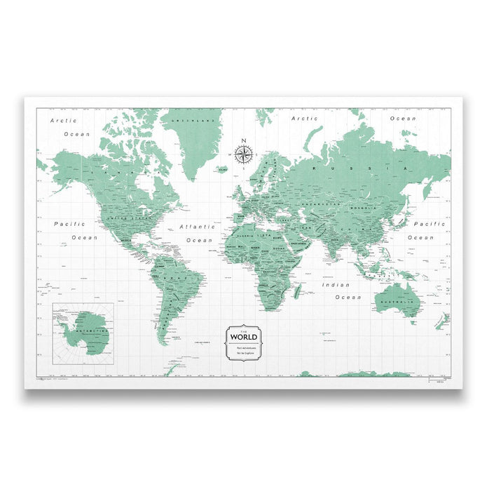
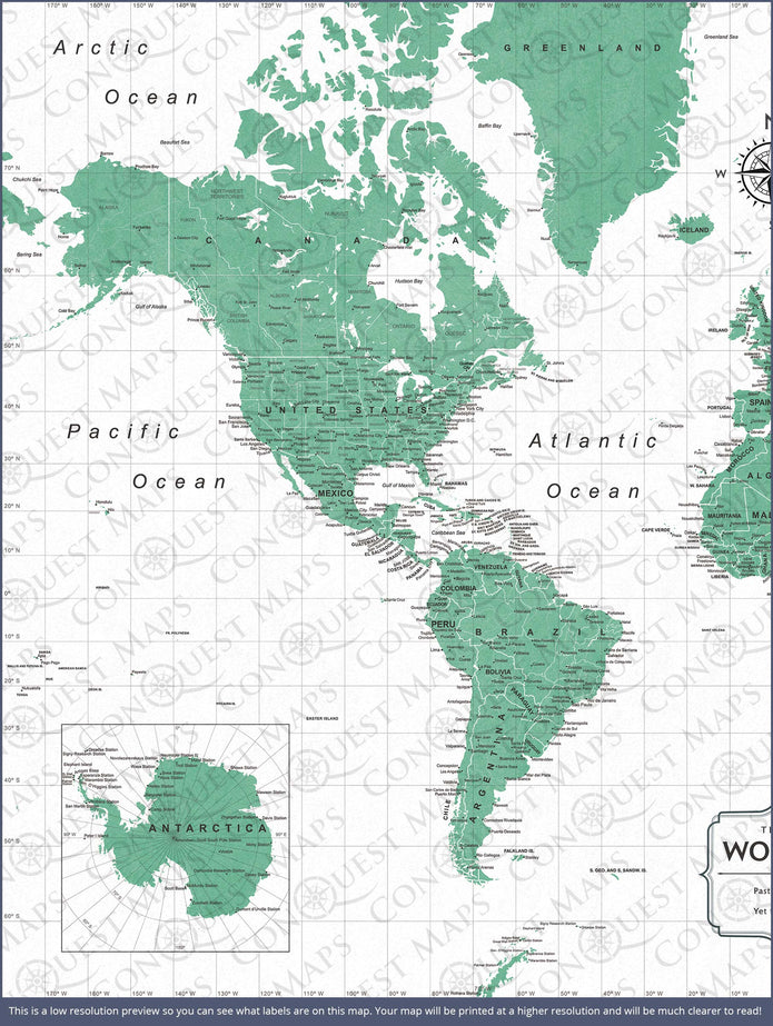
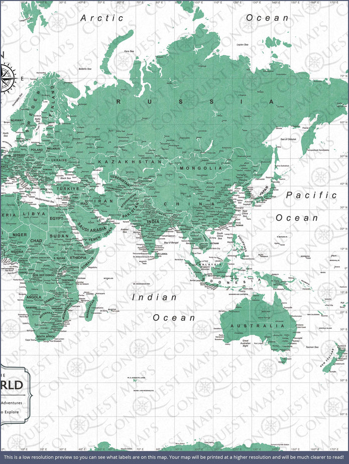
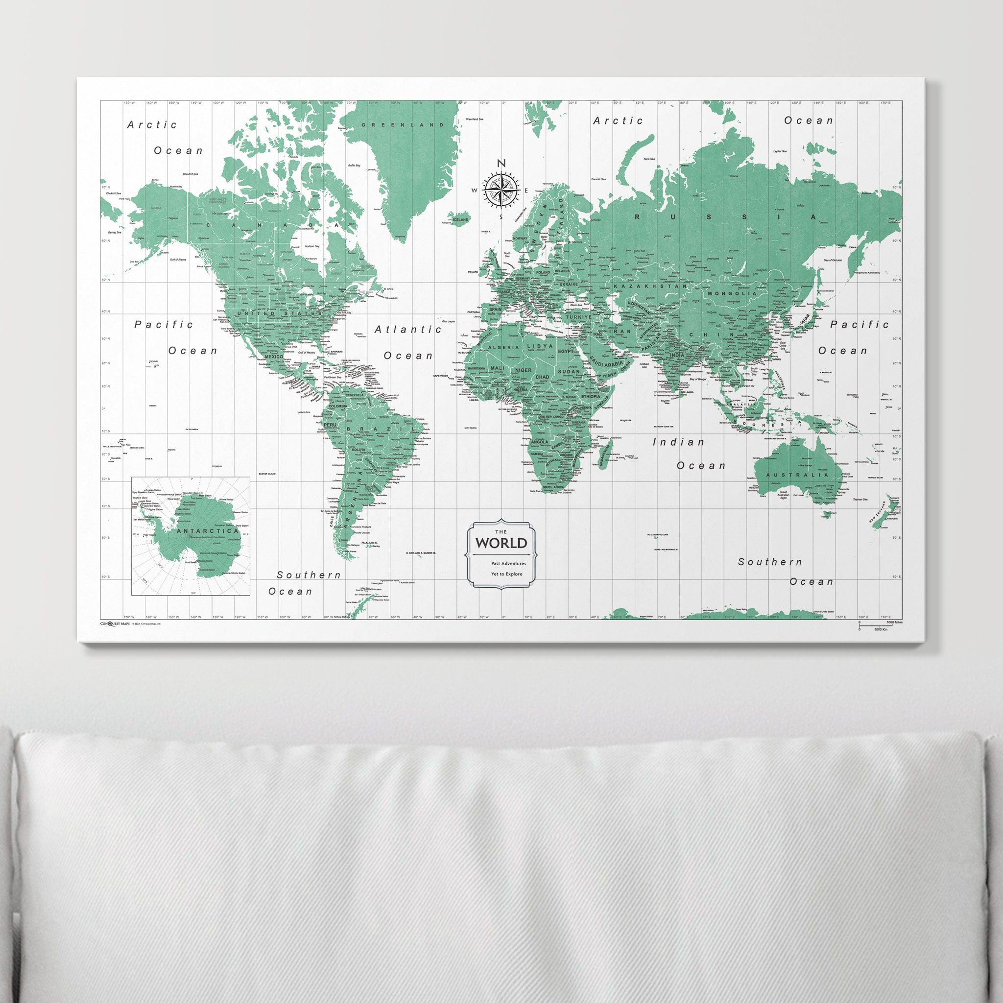
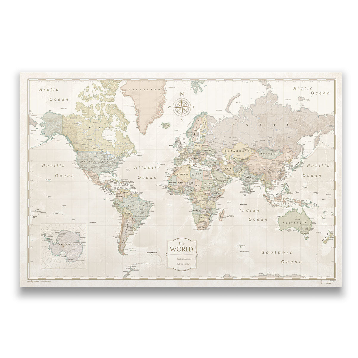
The Mercator Projection World Map is one of the oldest projections still in use today. Schools worldwide use it because of its simplicity and ease of use. Here at Conquest Maps, we’ve had our Mercator maps for sale since we began offering personalized travel maps!


 Skip to content